Why it matters:
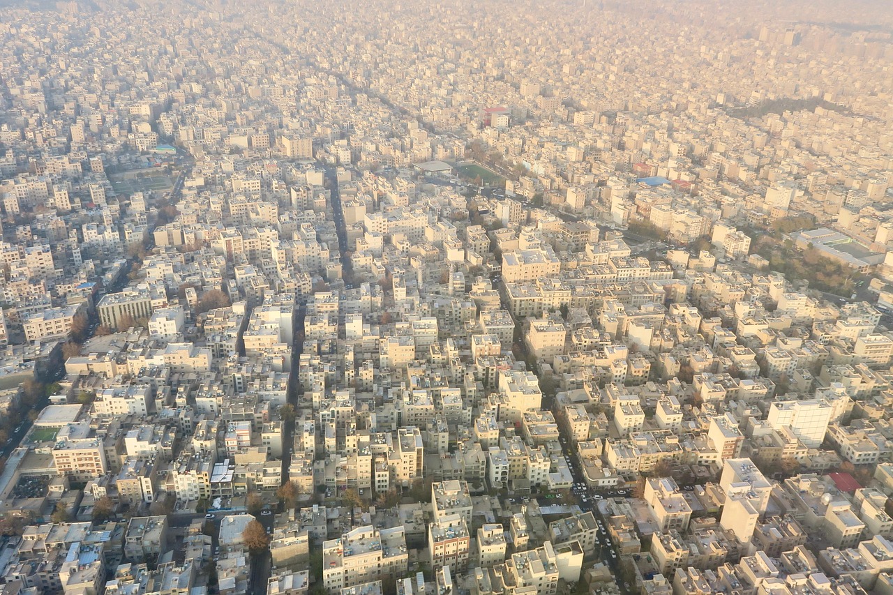
Iran is expanding its national geospatial capabilities at a time when precise mapping, satellite imagery, and spatial intelligence are increasingly vital for crisis management, defense operations, and…
Iran’s Armed Forces Mapping Agency to Launch Iran Geo Expo on Thursday